The Mappa Mundi by Fra Mauro, created around 1450.
However, careful research alone could sometimes produce useable, surprisingly accurate renditions of geography.
The map, completed around 1450, was essentially crowd-sourced like a medieval Google Maps, saysAtlas Obscura.
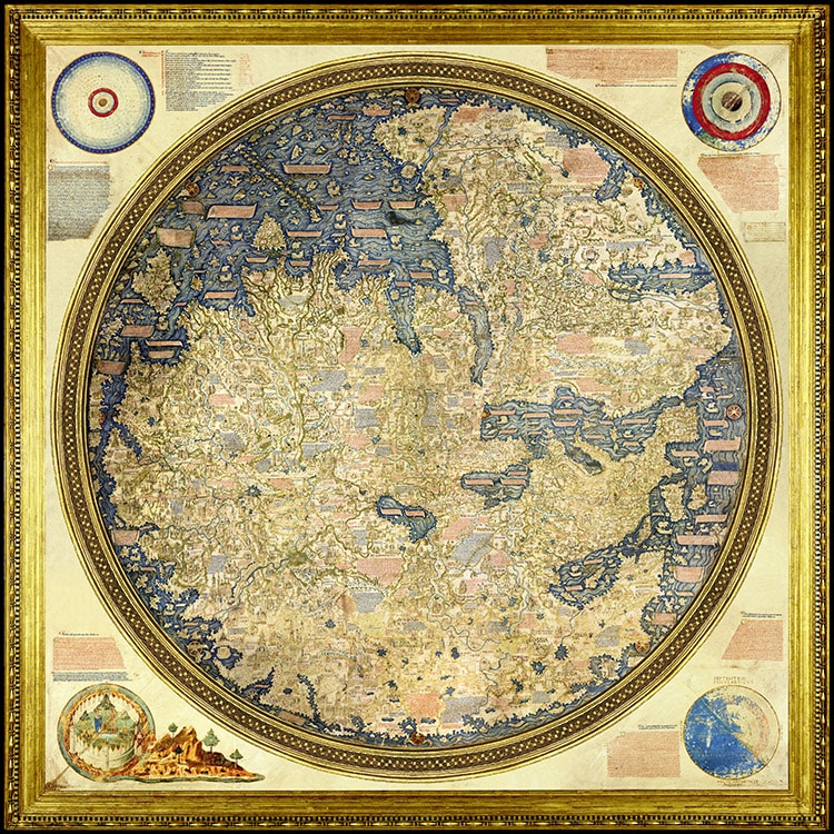
The Mappa Mundi by Fra Mauro, created around 1450. (Photo:Wikimedia Commons, Public Domain)
He then compiled them, with some assistance, into a map.
At a glance, one may not recognize the continents, as the map was drawn upside down.
Ships, some labeled in Chinese, dot the wavy waters as far away as India.
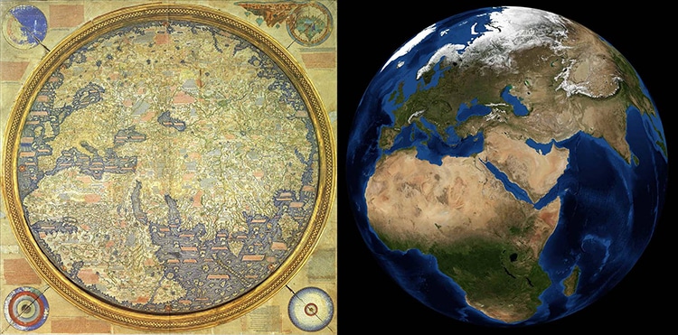
Comparing the map to the real planet. (Photo:Wikimedia Commons, Public Domain)
Almost 3,000 cities and sites are labeled and illustrated.
Some are accompanied by troglodytes, seven-headed serpents, or gold lakes.
Clearly, the monk did not believe every legend he was told, noting in some places his disbelief.
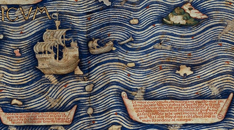
A close-up of Chinese ships in the Indian Ocean. (Photo:Wikimedia Commons, Public Domain)
Impressively, this is the first European map to correctly depict Japan as an island.
Comparing the map to the real planet.
A close-up of Chinese ships in the Indian Ocean.
