An early 14th-century Byzantine map of the British Isles.
(Photo:Wikimedia Commons, Public Domain)
What do you know about the history of mapmaking?
Maps have long reflectedworld-views, literally and figuratively.
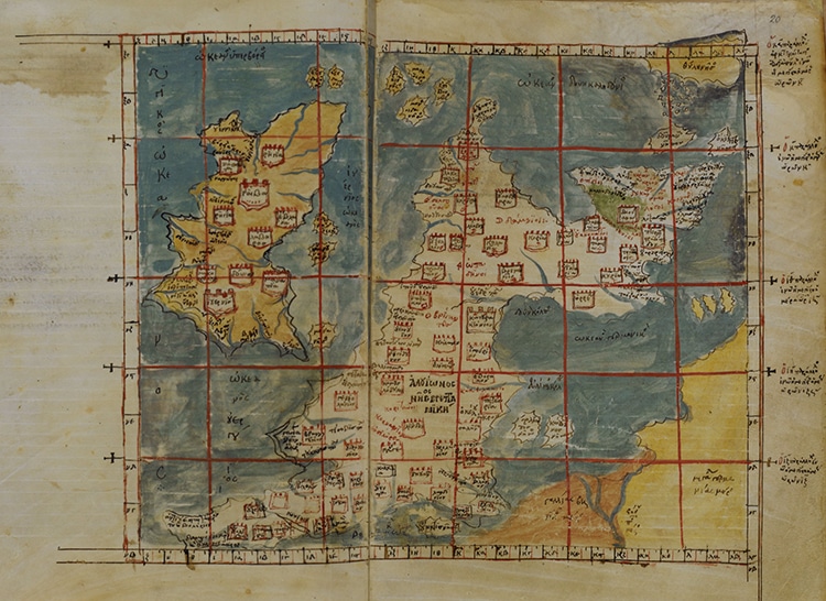
An early 14th-century Byzantine map of the British Isles. (Photo:Wikimedia Commons, Public Domain)
Browse the downloadable PDFs full of fascinating information and imagery from ancient days to modern times.
The editors of the five volumesJ.
Each volume covers a different period of map history.
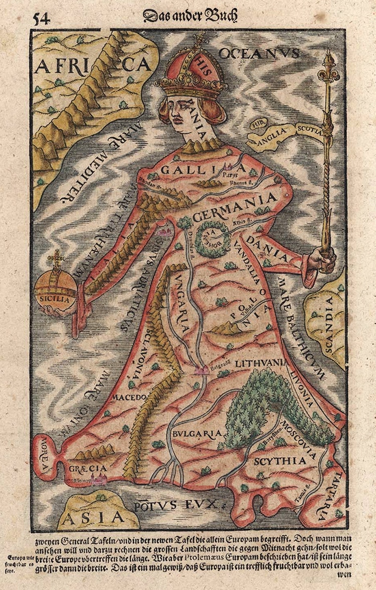
Europe depicted as a Queen by a Swiss printer in 1570. (Photo:Wikimedia Commons, Public Domain)
Volume One features ancient and medieval cartography in Europe.
Volume Two covers much of historic Asian and African traditions.
Volume Three is absorbed in Renaissance Europe.
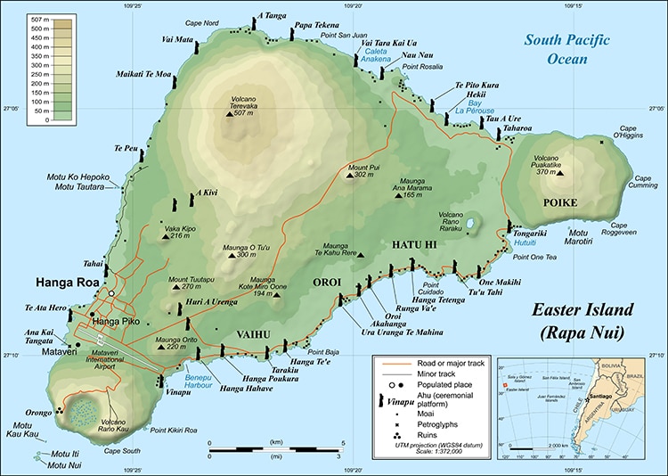
Easter Island in a modern depiction. (Photo:Wikimedia Commons,CC BY-SA 2.5 DEED)
Volume Four addresses the Enlightenment.
Volume Six (not Five) skips ahead to the massive technical advances of the 20th century.
Other than the 19th century, the entire history of mapmaking is at your fingertips.
Maps have evolved, from ancient etchings to figuralT and O maps, to modern elevation charts.
These volumes attempt to document these incredible developments.
Five volumes ofThe History of Cartographyare now available online.
Europe depicted as a Queen by a Swiss printer in 1570.
Easter Island in a modern depiction.
