They were rarely created in good faith, and are often used in wrong ways.
I am open to criticism about this project and I welcome suggestions and changes.
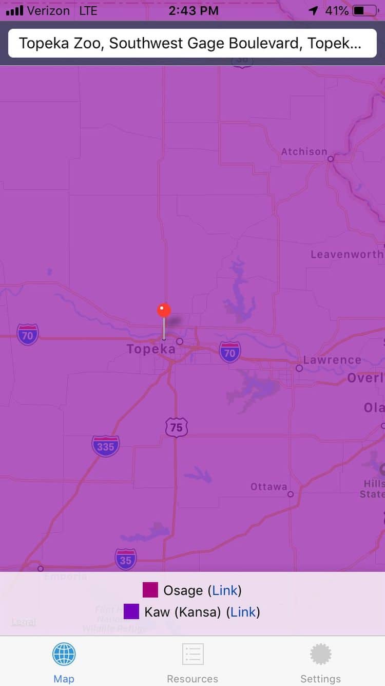
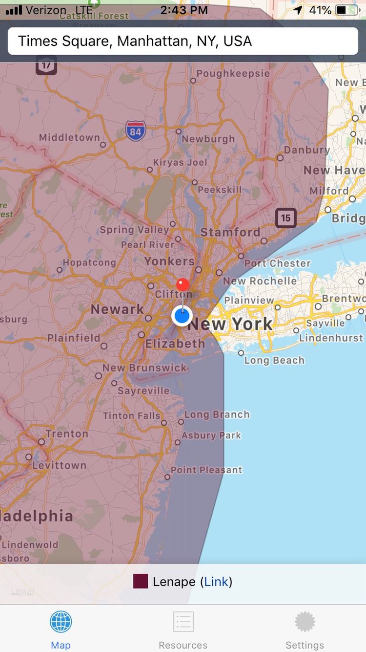
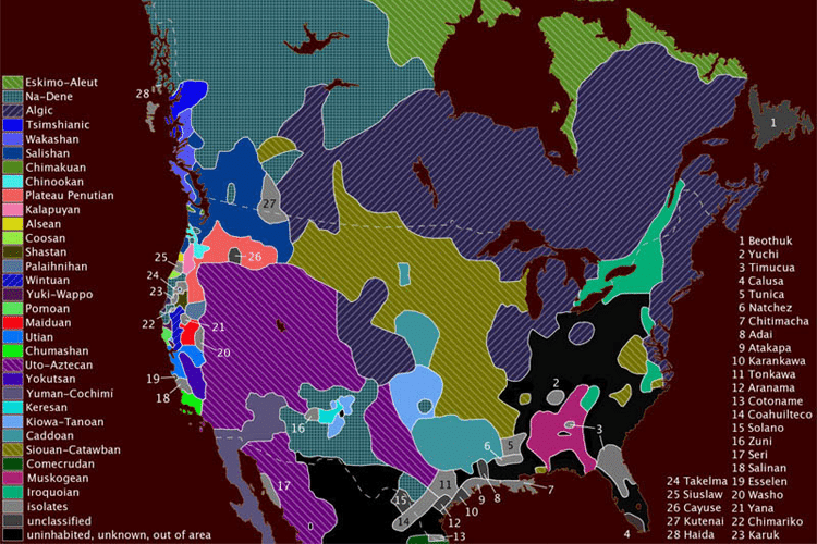
Who defines national boundaries, and who defines a nation?
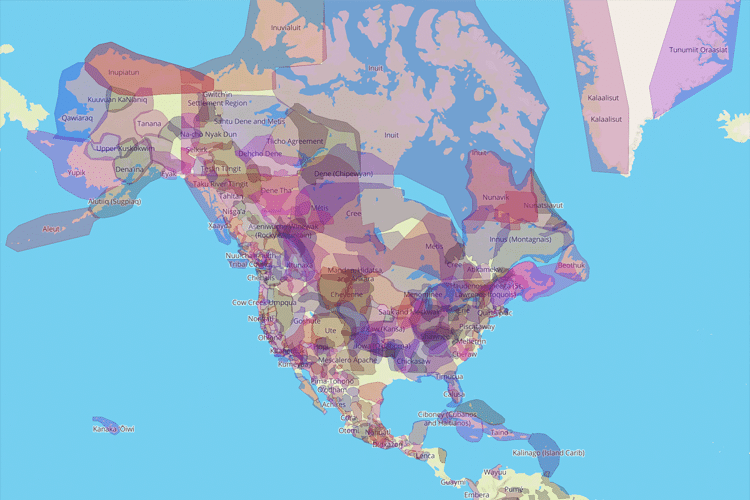
How have colonial maps attempted to dispossess Indigenous people of their land?