Celebrating Indigenous peoples traditions and recognizing the struggles they have been through can be done year-round.
A first and easy step to do so is to ask yourself, What Indigenous land am I on?
Launched in 2015, the Native Land Digital map is a collaborative effort.
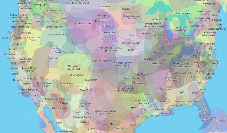
Photo: Screenshot from Native Land Digital
The map is available on Native Land Digital’swebsite, as well as a mobile app foriOSandAndroid.
For a more insightful experience, the map has an option to see settler labelscontemporary borders and state lines.
Although it is very thorough, its creators point out that it is still a work in progress.
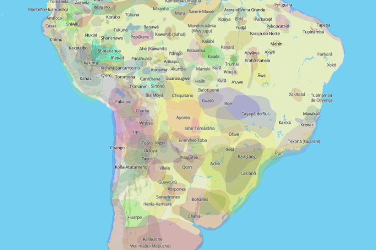
Photo: Screenshot from Native Land Digital
To learn about definitive boundaries, drop a line to the nations in question.
The team behind the map also suggests reaching out to specific groups regarding any Indigenous land acknowledgements.
Although it is very thorough, its creators point out it is still a work in progress.
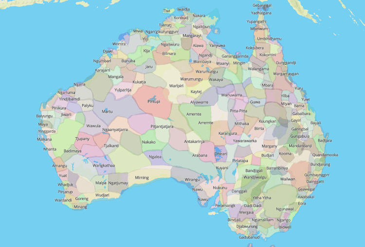
Photo: Screenshot from Native Land Digital
However, this map is certainly an invaluable resource for communities around the world.
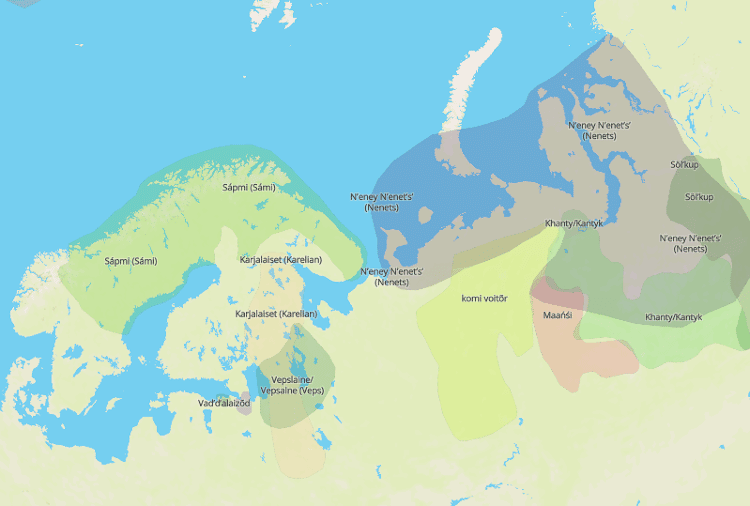
Photo: Screenshot from Native Land Digital
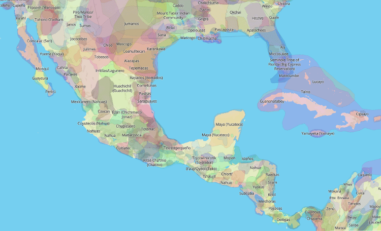
Photo: Screenshot from Native Land Digital
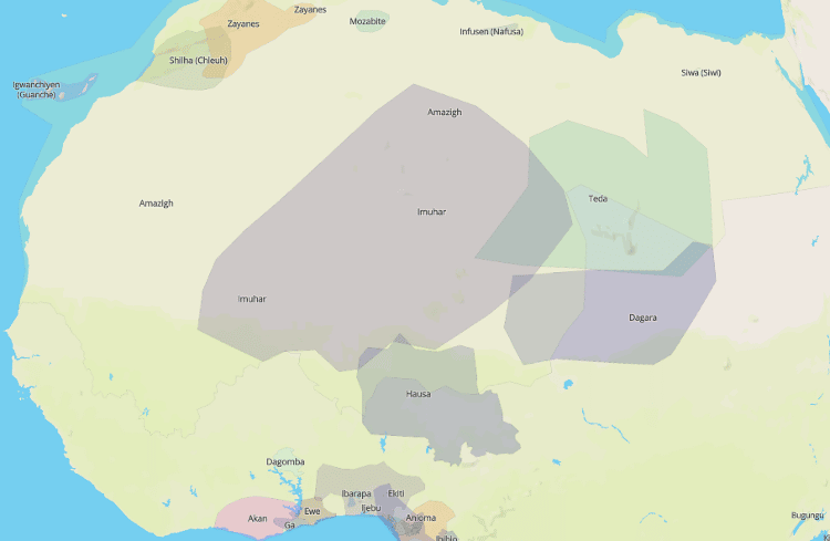
Photo: Screenshot from Native Land Digital
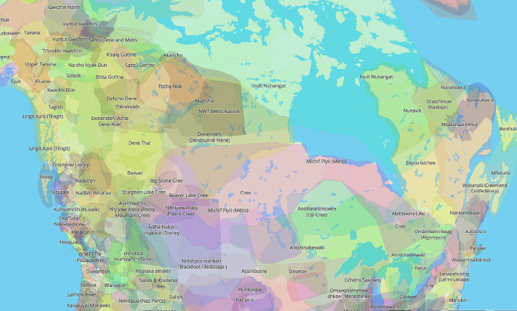
Photo: Screenshot from Native Land Digital
